Flora
Plant communities change with altitude and rainfall. African violets are closely associated with the Eastern Arc region.
Eastern Arc forests • Village paths • Mountain viewpoints
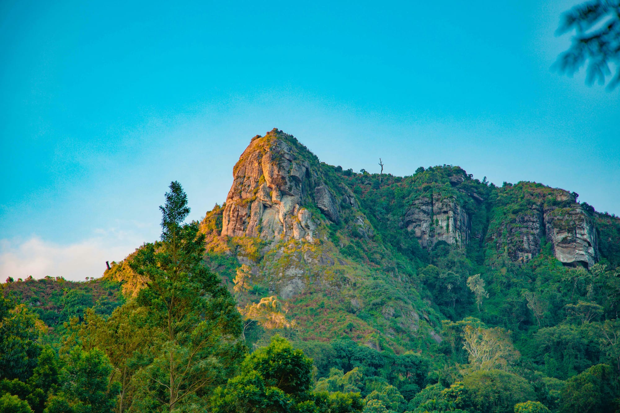
Located in northeastern Tanzania, the Usambara Mountains form part of the Eastern Arc, a region known for biodiversity and endemism. Around Lushoto, village paths, high viewpoints and the forests of Magamba bring that landscape within reach on foot.
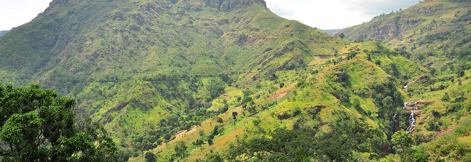
Usambara offers a contrast to Tanzania’s savannah routes, with walking trails, forests, farmland and high viewpoints.
The range includes the West Usambaras around Lushoto and the East Usambaras around Amani. Access and trail conditions vary between them.
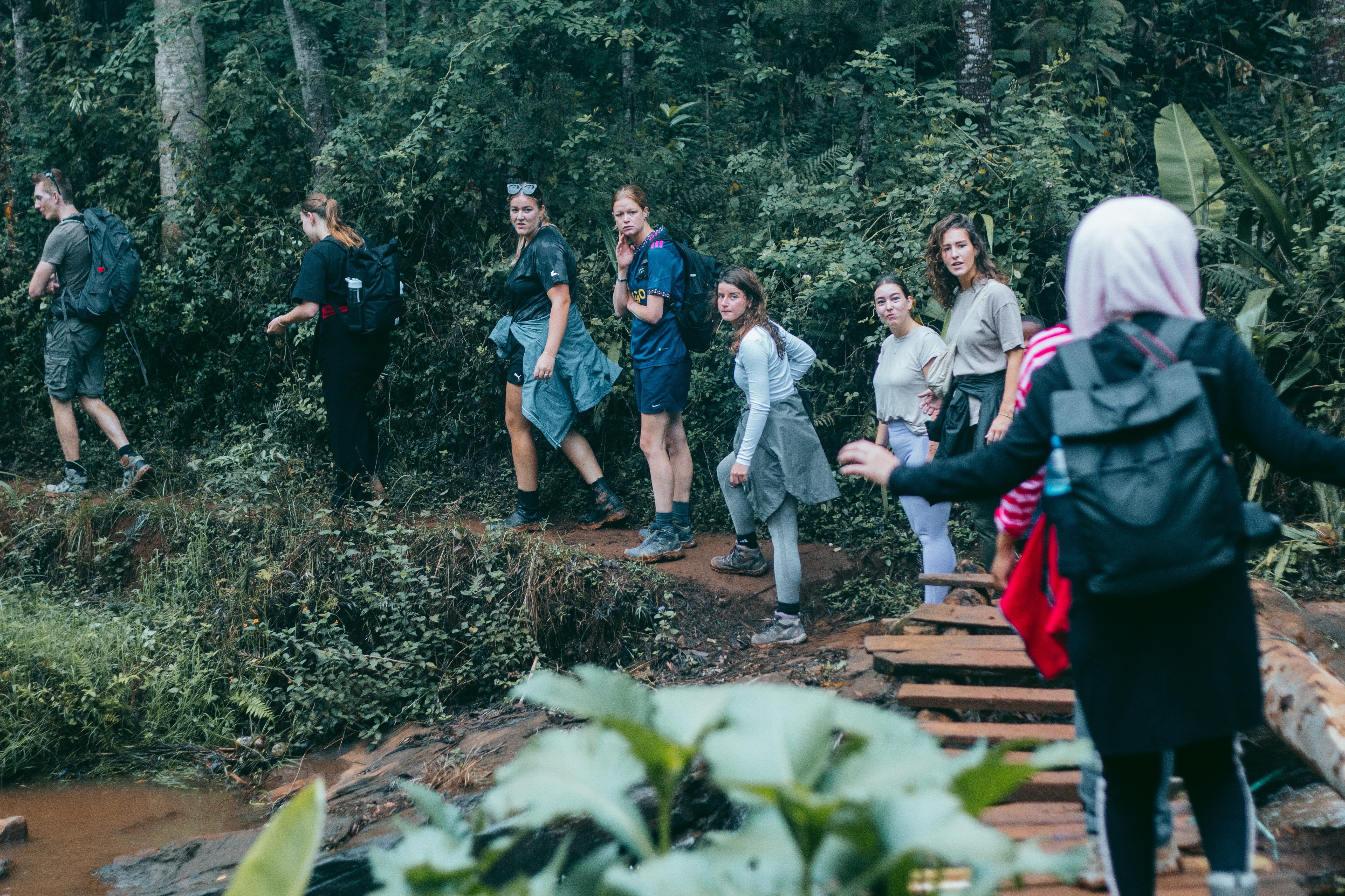 Hikers enjoying the lush trails near Lushoto
Forests support endemic and range-restricted species, though sightings are never guaranteed.
Plant communities change with altitude and rainfall. African violets are closely associated with the Eastern Arc region.
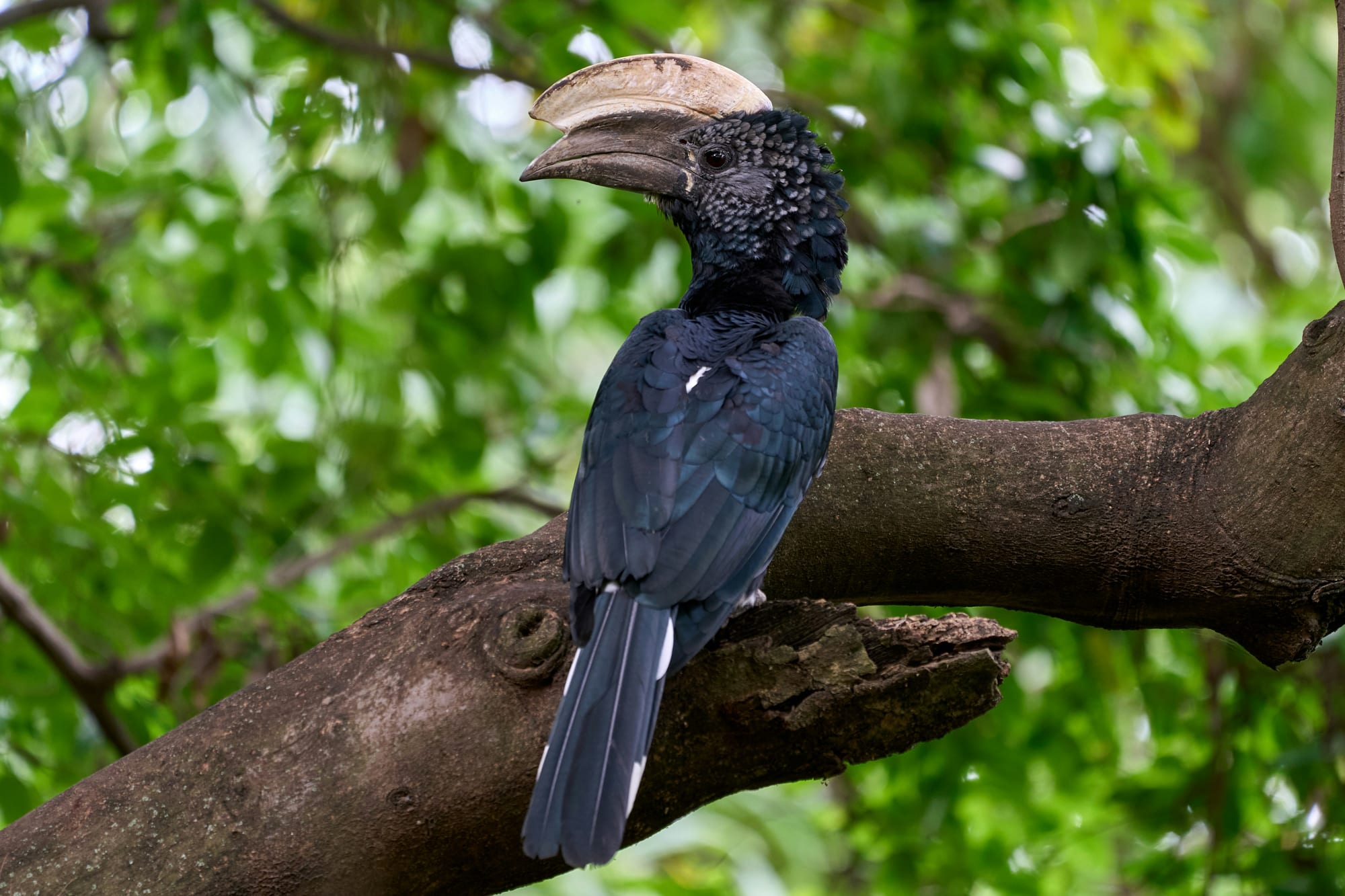
Forest and edge habitats support resident, migratory and range-restricted birds at different times of year.
Chameleons and amphibians live within the wider landscape. A guide may help identify them without disturbing the animals.
Several monkey and small-mammal species use forest habitats; all sightings depend on the day.
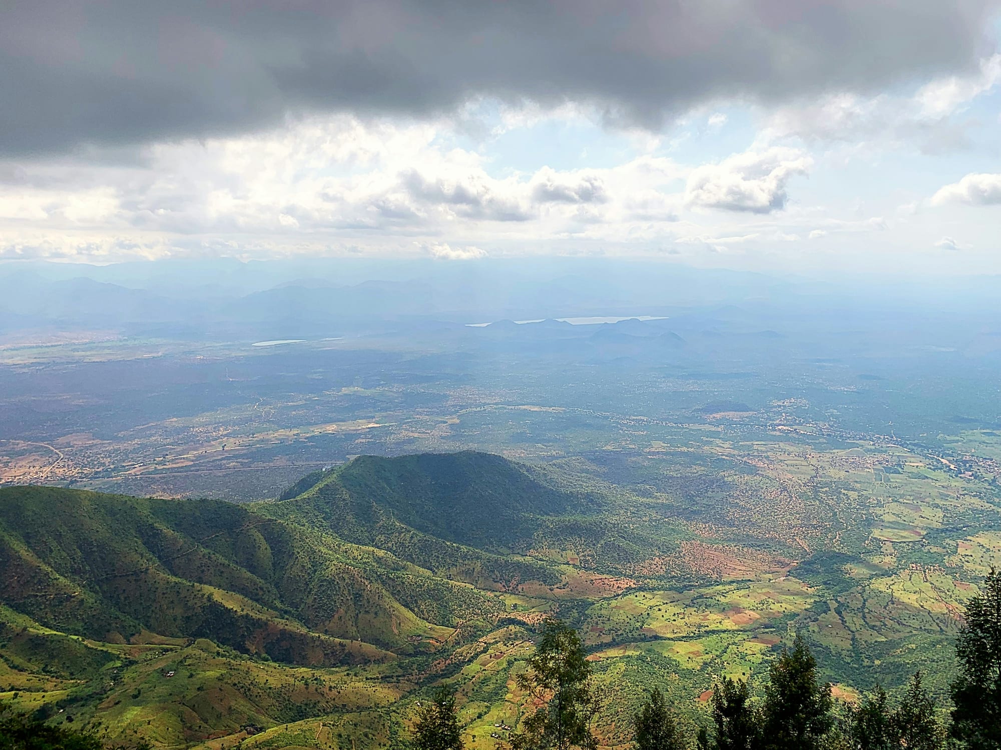
Irente is a commonly requested walk from Lushoto. The viewpoint opens towards the plains when cloud and visibility allow.
Planning: A farm visit or meal is included only when arranged and confirmed in advance.
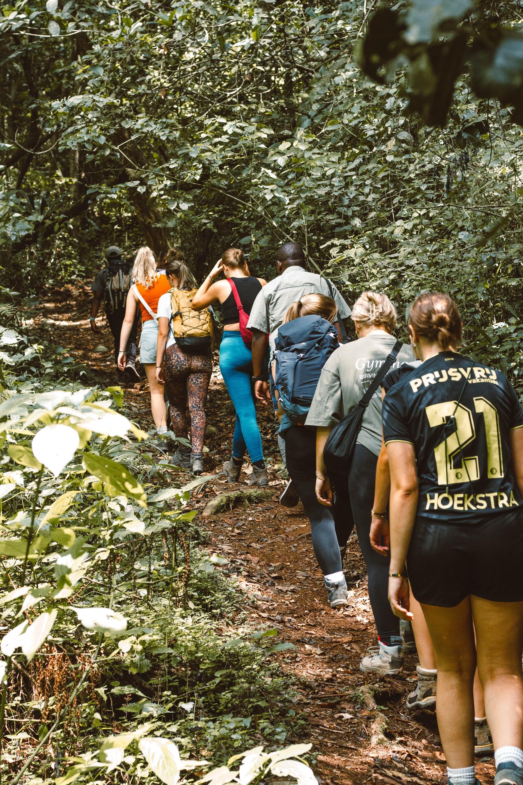
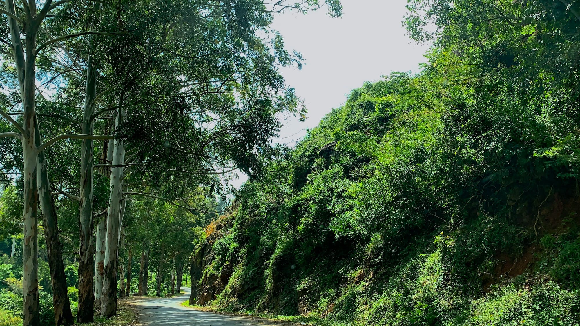
Magamba offers forest walking near Lushoto. Wildlife, including colobus monkeys, may be seen but is never guaranteed.
Planning: Ask a local guide which paths and historical sites are currently accessible.

Mtae sits towards the northwestern edge of the West Usambaras and can form the end of a multi-day route.
Experience: Ridge viewpoints offer wide sunset views when weather and visibility allow.
Sambaa (Wasambaa) communities are closely connected with the Usambara Mountains. Farming, markets and settlement patterns are visible along many walking routes.
Lushoto, formerly known as Wilhelmstal, served as a hill retreat during the German colonial period because of its cooler mountain climate. Stone buildings from that era can still be seen around town.
Walking here is possible all year. What changes is underfoot conditions and how far you can see.
Ready-made itineraries you can take as they are or adapt to your dates.
 1–5 days · Hiking
Lushoto & Usambara Hiking
1–5 days · Hiking
Lushoto & Usambara Hiking
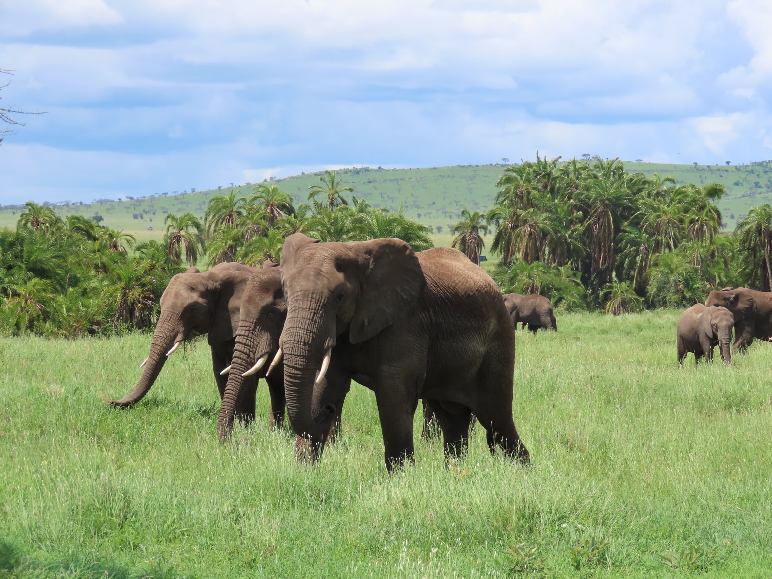 10 days · Safari & hiking
Saadani Safari & Usambara Trek
10 days · Safari & hiking
Saadani Safari & Usambara Trek
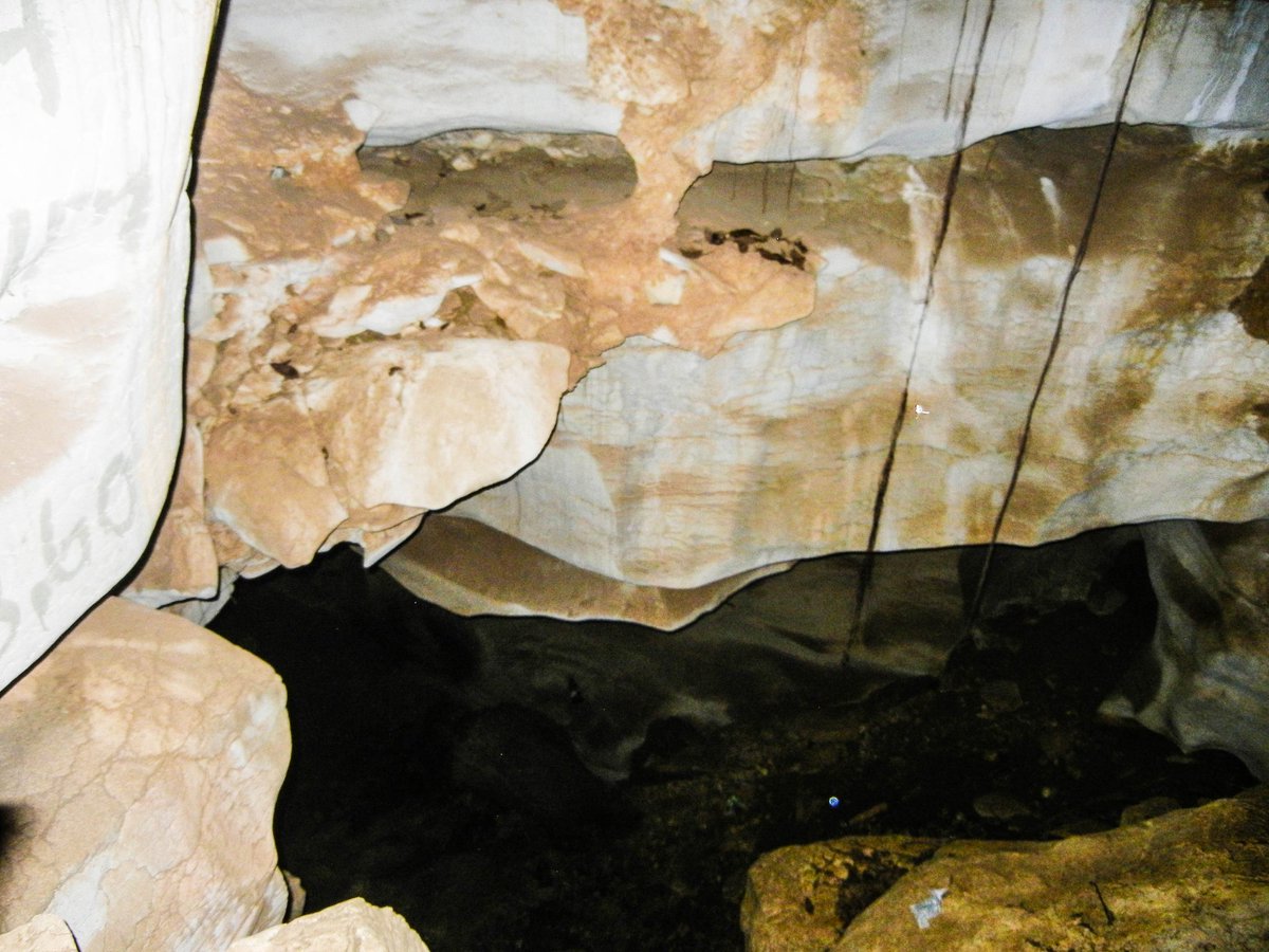 9 days · Wildlife & history
Mountains, Mkomazi & Caves
9 days · Wildlife & history
Mountains, Mkomazi & Caves
 9 days · Trek & coast
Lushoto to Zanzibar
9 days · Trek & coast
Lushoto to Zanzibar
Places that pair well with this one.
Start with a half-day walk or ask us about a multi-day itinerary.